The printable version is no longer supported and may have rendering errors. Please update your browser bookmarks and please use the default browser print function instead.
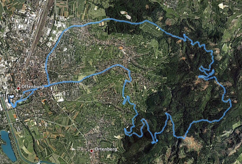
Map

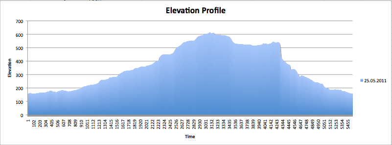
Elevation Profile

Data
- 751 Hm
- 26,7 km
- Minimum Altitude 155m
- Maximum Altitude 612m
- Max Speed 67,4km/h (can this be right?)
- Avg. Speed 12,4km/h