Fahrradtour 2010-04-11: Difference between revisions
Jump to navigation
Jump to search
| Line 16: | Line 16: | ||
<references/> | <references/> | ||
[[Category: | [[Category:Mountainbiking]] | ||
[[Category:Sports]] | [[Category:Sports]] | ||
Revision as of 21:24, 6 June 2010
Strecke
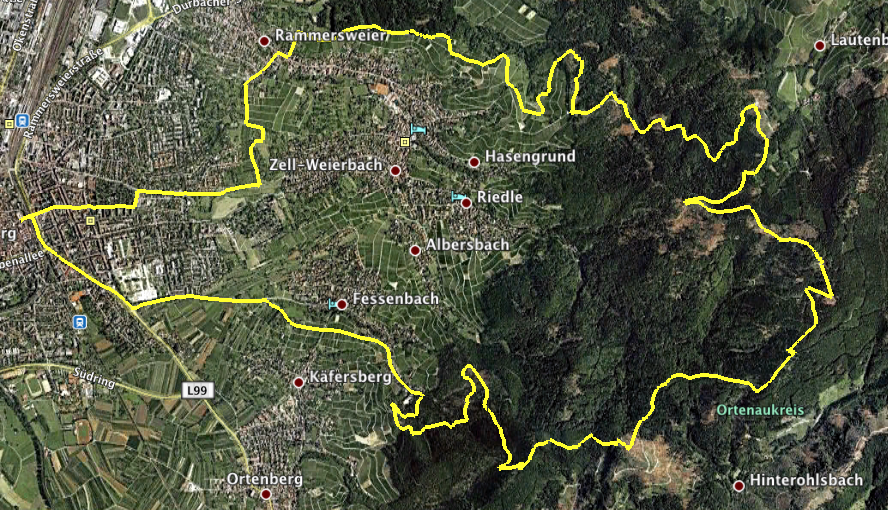
Lindenplatz - Hohes Horn - Brandeckturm - Absoloms Grab - Wolfsgrube - Lindenhöhe - Lindenplatz

Höhenprofil

Höchster Punkt: 692m bei 10.53km.
Langweilige Daten
- Tracklog (gezippt)
- KMZ für Google Earth (gezippt)
- Und dank GPSMinna das ganze noch in Excel, falls einer die geleisteten Höhenmeter[1] ausrechnen will (gezippt[2]): Fahrradtour2010-04-11xlsx.zip
- You might also be interested in...
Fußnoten: